


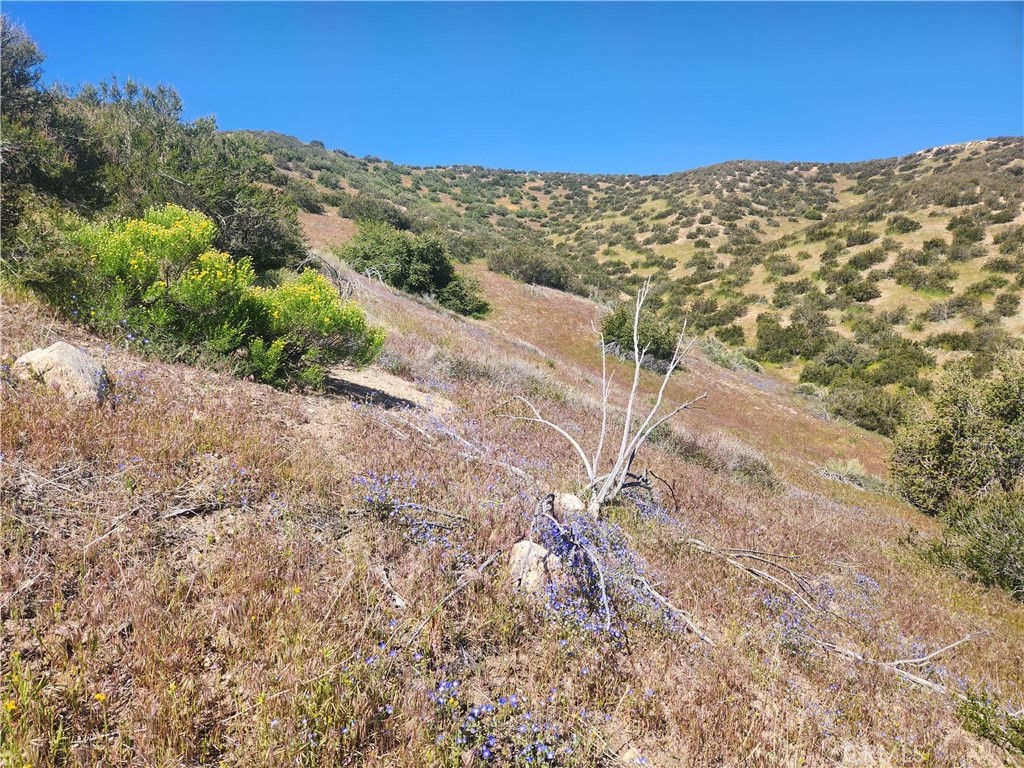

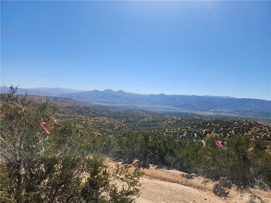


Price Reduced! This property is known as LAKEVIEW HEIGHTS. This offering consists of 55.47 Acres at the top of Telephone Canyon Rd. Sitting at appx 3,900 feet above sea level and over looking Silverwood Lake, it is draped over the high bluffs between Summit Valley Road and Summit Valley proper. [ APN's 0357-091-64 & 0357-091-67 ] There is a sign on the property, at GPS COORDINATES: 34.333204, -117.355080 With views for miles, each parcel has its own landing with a panorama from the top of Summit Valley, to SILVERWOOD Lake, and the East Fork of the Mojave River flowing through serene pasturelands where it meets up with Deep Creek. Taking in the view across the valley of the lake itself, at 800 feet below you, you can see the forested ridges and valleys surrounding it that rise up to the San Bernardino Mtns where Lake Arrowhead and all the mountain communities are tucked into the trees. Looking west, you have a view of the top end of Summit Valley, Horsethief Canyon, and the mighty San Gabriels prominently rising with Mt Baldy and Cucamonga Peak front and center. *** Eventually the master planned Silverwood community (formerly known as Tapestry) is going to be built below and to the east, and this property will have a commanding view looking down upon it. [ ZONED RS-1 ] by San Bernardino County, and abutting the Silverwood property along the entire east property line, it has the potential to be a massive investment and developed as such, OR it can be a one-of-a-kind custom luxury hilltop paradise all to yourself. Please verify associated uses and restrictions with the County. Seller will consider FINANCING @ 30% down. Bring your offer. Lets talk. But first, COME SEE THE PROPERTY FOR YOURSELF and let your dreams wander! The corner of each parcel has been marked with a 10 FOOT POLE as seen in pictures. All those corner GPS points can be provided upon request.